Engineering-Grade
Aerial Intelligence.
Precision orthomosaic mapping, 3D digital twins, and BIM/VDC-ready deliverables for construction professionals who demand high-accuracy data from every flight.
Core Capabilities
Precision Data. Premium Visuals.

Mapping & Reality Capture
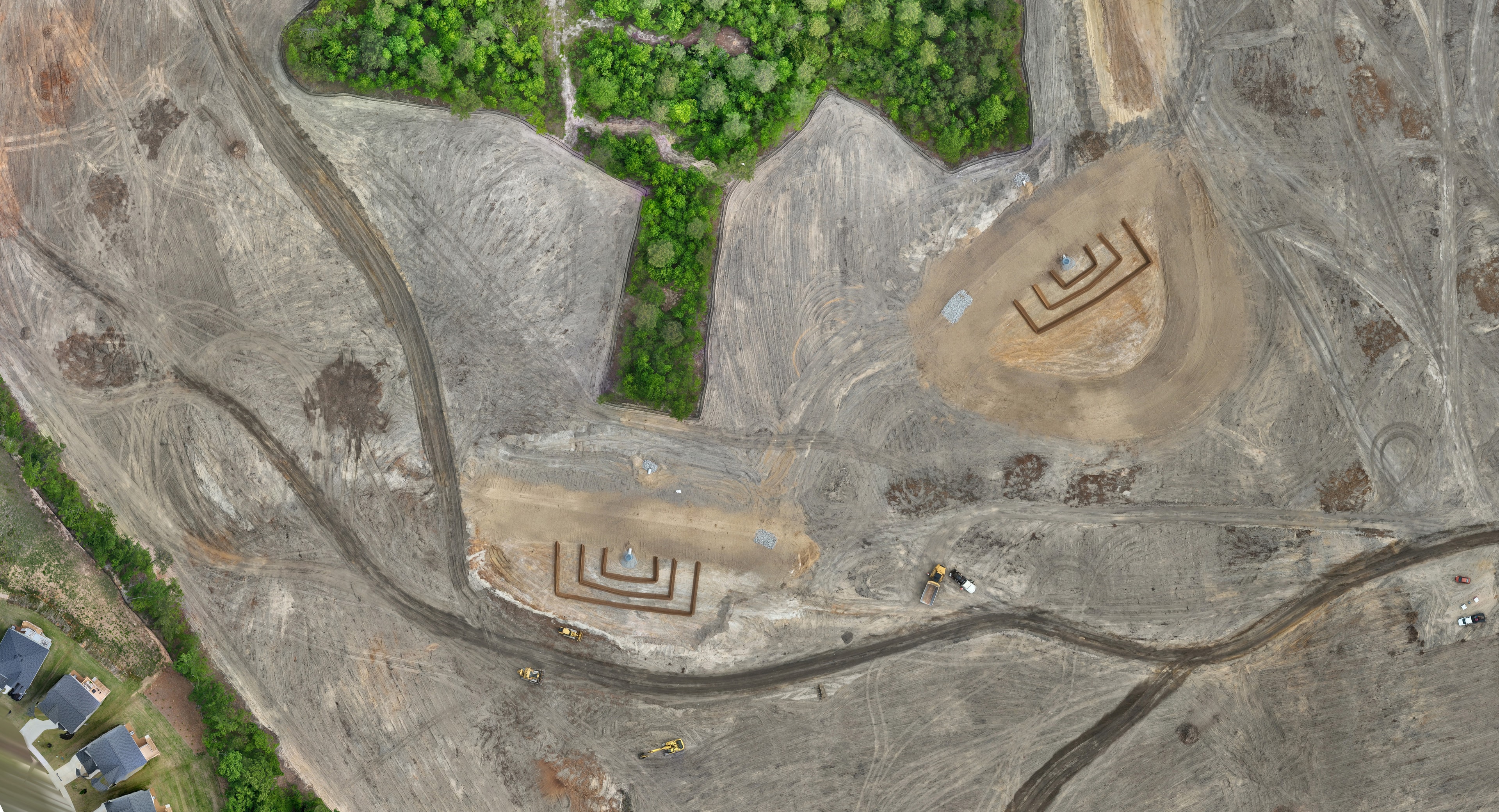
Precision 2D orthomosaic maps, photorealistic 3D digital twins, and point cloud data engineered for BIM/VDC workflows. Deliverables compatible with Autodesk Revit, Civil 3D, and Navisworks.
- Orthomosaic Mapping
- 3D Digital Twins
- Point Cloud / LiDAR
- BIM Integration
- Progress Monitoring

Aerial Photography & Video
Cinematic aerial content for commercial advertising campaigns and real estate marketing. High-resolution stills and 4K video.
View PortfolioHigh-accuracy ground sample distance on every deliverable.
Fully licensed for commercial UAS operations nationwide.
Standard deliverable turnaround from flight to final output.
Industries Served
Built for the Field. Trusted by the Office.

Construction
Progress monitoring, volumetric analysis, and BIM-ready deliverables for GCs and project managers.

Real Estate & Commercial
Cinematic aerials and site mapping for developers, brokers, brand campaigns, and marketing productions.


Why Pixel Above Media
Data You Can Build On.
We're not a photography company that flies drones. We're a data company that operates aircraft. Every flight is planned with precision, every deliverable is validated against accuracy thresholds, and every output is formatted for the workflows your team already uses.
- High-accuracy data with georeferenced outputs
- Deliverables formatted for Autodesk, Trimble, and Bentley workflows
- Fully insured with FAA Part 107 commercial certification
- Direct communication with your operator from flight planning to final delivery
- Serving the CSRA and Southeast from Evans, Georgia
Start a Project
Ready to see your
project from above?
Tell us about your project — site size, deliverable requirements, and timeline. We'll respond within 72 hours with a scoped proposal.